Wandering about the Wolds
You are here: Home > Cotswold Blog > Wandering about the Wolds
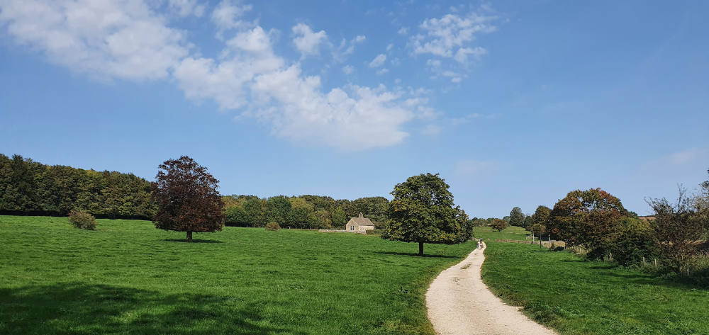
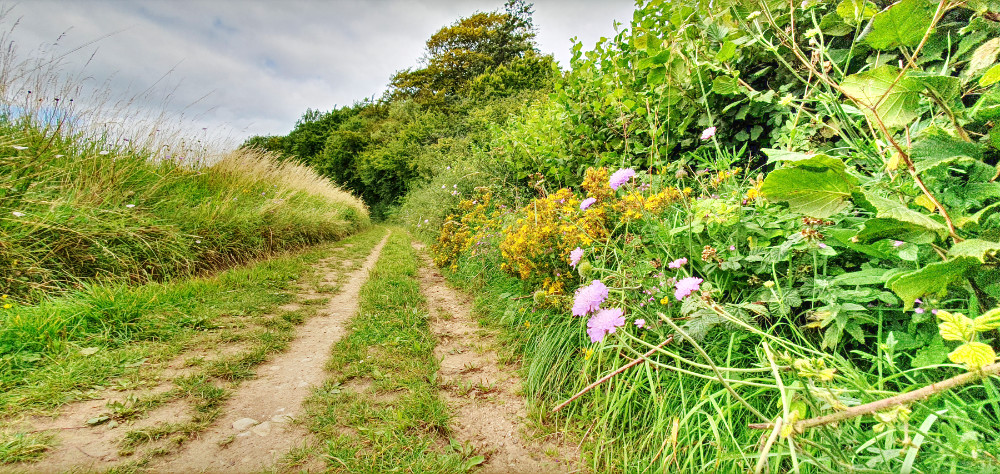
Although a very popular modern-day activity, walking has a long tradition in the Cotswolds. As a result, the Cotswolds hosts a very fine selection of ancient byways, Roman roads and drovers' lanes.
A walk into history
Of course, many of us are aware of the Roman heritage of the Cotswolds (see my previous article, Help the Romans are Coming) and the Roman roads that traverse the area, such as the Fosse Way. However, before the romans arrived it is believed that there was a well-established network of tracks and ways across the area. It is likely that these were located mainly on the drier ridges of the upper wolds, avoiding the lower, boggy valleys.
Being an area rich in livestock rearing, we also have examples of drovers' roads for cattle and sheep. Interestingly, some may have been designed for droving pigs. These tended to have stone walls down each side, as pigs have less of a herding instinct than cattle and sheep and tend to be more prone to wandering of the lane of not stopped from doing so by walls.
This heritage of ancient travel has resulted in the Cotswolds having over 3,000 miles of Public Rights of Way, which provide an excellent opportunity for exploring the area.
For a walk that takes you along some of these ancient routes, visit my Cotswolds Walks website:
https://martincmarais.wixsite.com/cotswoldswalks/akemanstreetramsden
Ploughing your own path
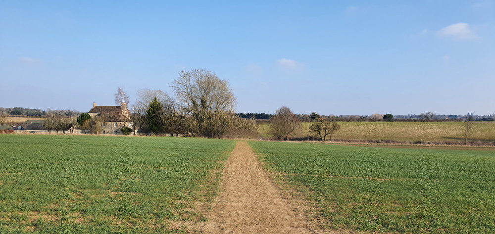
While there is a plethora of walking guides for the Cotswolds, I have been designing my own walks for a number of years. I love to study maps, to discover intriguingly named towns and villages, to follow the meanders of rivers and study the patterns made by the contour lines. Using maps to design my own walks gives an introduction to the landscape I plan to walk through and suggests things to look out for, such as the holy well near Wilcote, that is included in the walk I listed in the previous section.
The large number of Public Rights of Way in the Cotswolds makes it relatively easy to design circular walks lasting from less than an hour to a whole day. My starting point is always an OS map at 1:25,000 scale. These are wonderfully colourful maps that provide you with all the detail you need. However, I have discovered recently that they do not contain all the footpaths that are available, therefore I suggest you also look on the County Council definitive maps. All off these are available on-line. The OS has also produced a paper 1:25,000 map that covers the majority of the Cotswolds (OL45).
If you decide to design your own walks the following on-line maps will be helpful.
Bing Maps for OS base maps: https://www.bing.com/maps
You may prefer to buy paper copies of the OS maps as I would always advise that you have one with you when you walk.
Oxfordshire Council's Definitive footpath map:
https://publicrightsofway.oxfordshire.gov.uk/standardmap.aspx
Gloucestershire Council's Definitive footpath map:
https://www.gloucestershire.gov.uk/highways/public-rights-of-way/rights-of-way-online-map/

Going round in circles
If your preference is for routes that have already been designed then you are in luck as there is a large library of books that describe circular walks in the Cotswolds. Simply googling Cotswolds walks books will bring up pages of results. Many of these have themes. The most popular seem to be walks based around pubs, including those that are dog friendly, but there are guides on short walks, walks for families and waterside walks, for example.
Of course, there are also a host of websites. Some of these review a small number of what they claim to be the best walks in the Cotswolds, others offer the walker a choice of a large number of walks. One of these includes my own website of walks in the Cotswolds (see below).
Googling Cotswold walks will bring a good number of websites up, although it has to be said the results tend to be dominated by companies offering walking holidays. So, I have listed some websites that list self-guided walks below.
Official Cotswolds AONB website:
https://www.cotswoldsaonb.org.uk/visiting-and-exploring/walking/self-guided-walks/
Winchcombe Welcomes Walkers:
https://www.winchcombewelcomeswalkers.com/walks/self-guided-walks/
Winchcombe has an annual Walking Festival. For more details follow this link
https://www.winchcombewelcomeswalkers.com/walking-festival/
My own walking website can be found by following this link.
https://martincmarais.wixsite.com/cotswoldswalks
Taking the straight and narrow
And then there are the long-distance walks, of which the Cotswolds seems to have more than its fair share. Some of these will take more than one day to complete and offer the opportunity for getting a sense of really being in the countryside.
Probably the most well-known is the Cotswolds Way National Trail. This is a 102 mile walk between Chipping Camden and Bath, https://www.nationaltrail.co.uk/en_GB/trails/cotswold-way/
Others include;
The Cross Cotswolds Pathway (86 miles, Banbury to Bath). This is a section of the Macmillan Ways (http://www.macmillanway.org/) that have been designed by Macmillan Cancer Support for its supporters who wish to do sponsored walks.
The Diamond Way (60 miles, Circular). Created, in 1995, by the Ramblers Association's North Cotswolds Group to celebrate their Diamond Jubilee.
The Winchcombe Way (44 miles) This figure-of-eight-walk is centred on the town of Winchcombe.
https://www.winchcombewelcomeswalkers.com/walks/winchcombe-way/
Windrush Meander (48 miles) This is an unofficial walk that I designed. It takes the walker from the source of the River Windrush all the way to its confluence with the River Thames.
https://martincmarais.wixsite.com/cotswoldswalks/walking-guides
The following websites give good introductions to the long-distance walks in the Cotswolds.
Trek Addict: https://trekaddict.co.uk/blog/10-best-long-distance-walks-in-the-cotswolds/
Wanderlust: https://www.wanderlust.co.uk/content/best-walks-in-cotswolds/
Last updated: 23 August 2023 - Please note: This blog was first written over a year old and things may have changed since the blog was written.