Cirencester History
Roman Corinium
When the Romans built a fort where the Fosse Way crossed the Churn, to hold two quingenary alae tasked with helping to defend the provincial frontier c. AD 49, native Dobunni were drawn from Bagendon, a settlement of the Dobunni situated 3 miles (5 km) to the north, to create a civil settlement near the fort. When the frontier moved to the north following the conquest of Wales, this fort was closed and its fortifications levelled c. 70, but the town persisted and flourished under the name Corinium Dobunnorum.
Even in Roman times, there was a thriving wool trade and industry, which contributed to the growth of Corinium. A large forum and basilica was built over the site of the fort, and archeological evidence shows signs of further civic growth. When a wall was erected around the Roman city in the late second century, it enclosed 240 acres (1 km²), making Corinium, in area, the second-largest city in Britain. It was made the seat of the province Britannia Prima in the fourth century, and some historians would date the pillar the governor L. Septimus erected to the god Jovian to this period, providing evidence of a sign of pagan reaction under the Roman Emperor Julian.
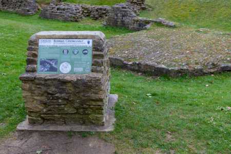
The amphitheatre still exists to the SW of Cirencester, but has not been fully excavated. Investigations in the town show that it was fortified in the fifth or sixth centuries. Possibly this was the palace of one of the British kings defeated by Ceawlin in 577. It was later the scene of a battle again, this time between the Mercian king Penda and the West Saxon kings Cynegils and Cwichelm in 628.
There are many Roman remains in the surrounding area, including several Roman villas near the villages of Chedworth and Withington, the most well know being Chedworth Roman Villa.
Recent History
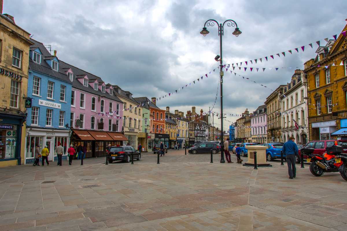
At the end of the 18th Century Cirencester was a thriving market town, at the centre of a network of turnpike roads with easy access to markets for its produce of grain and wool. A local grammar school provided education for those who could afford it, and businesses thrived in the town, which was the major urban centre for the surrounding area.
In 1789 the opening of a branch of the Thames and Severn Canal provided access to markets further afield, by way of a link through the River Thames. In 1841 a branch railway line was opened to Kemble to provide a link to the Great Western Railway at Swindon. The Midland and South Western Junction Railway opened a station at Watermoor in 1883. Cirencester thus was served by two railway lines until the 1960s.
The loss of canal and the direct rail link encouraged dependency on road transport. An inner ring road system was completed in 1975 in an attempt to reduce congestion in the town centre, which has since been augmented by an outer bypass with the expansion of the A417. Coaches depart from London Road for Victoria in central London and Heathrow Airport, taking advantage of the M4 Motorway. Kemble Station to the west of the town, distinguished by a sheltered garden, is served by fast trains from Paddington via Swindon.
In 1894 the passing of the Local Government Act brought at last into existence Cirencester's first independent elected body, the Urban District Council. The reorganization of the local governments in 1974 replaced the Urban District Council with the present two-tier system of Cotswold District Council and Cirencester Town Council. A concerted effort to reduce overhead wiring and roadside clutter has given the town some picturesque streetscenes. Many shops cater to tourists and many house family businesses.
Getting to Cirencester
How to get to Cirencester by train
Although Cirencester does not have its own train station, Kemble Railway Station is located just a few miles away and has a direct service to and from London.
So if you are interested in getting to Cirencester by train then arrive at Kemble train station from where you will then be able to get a taxi to Cirencester.
How to get to Cirencester by car
Cirencester is within easy reach of both the M4 and M5 motorways.